
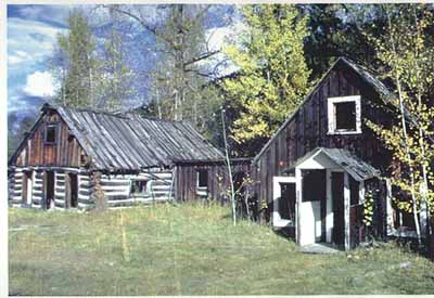
The Bodie Mine was purchased by Geo-Mineral Exploration Company in the
spring of 1969. The properties are approximately 11.5 miles from
Wauconda Junction, which is 16.9 miles from Republic, Washington, via
State Highway 30.
The Bodie Group is composed of five patented claims and 224.45 acres
under mineral prospecting lease from the State of Washington. The claims
are located in Okanogan County, in Section 3, Township 35 N., Range 31 E.
The State lease encompasses the South half of the Northeast quarter and
the East half of the Southeast quarter and the Lots 5 and 10 of Section
34, Township 39 N., Range 31 E.
The Bodie Mine was discovered in 1890, and has been operated
intermittently until 1944, when it was shut down. Geological reports
compare the ore to the Knob Hill mine at Republic, Washington. If the
geology of the deposit is similar to Knob Hill, a substantial preserve of
high grade ore should be below the 400 level, the lowest level worked by
previous operators. Also of interest is a "tailings dump" from previous
milling operations. A report available contains an estimate of a minimum
of 11,000 ton of tailings having an overall average of gold and silver
value of 3.27 per ton. The available records indicate that the mine was
operated from the time of discovery until about 1916 when war conditions
caused its closure. Apparently the property remained dormant until
approximately 1934 when it was reactivated and worked until about 1938.
There is a record of 302 tons having been produced in the period 1940 to
1944. There are however, no extant substantiating records for this
production time period..
Old mine maps dated 1937 indicate that there is greater than 4500 feet of
tunnels on four different levels of the mine. In addition to this, there
is an 800 foot crosscut below the older workings. The five levels of the
mine are designated as the 200, 250, 300, 400 and 600 levels. On the 200
level, there is 400 feet of tunnel, both drift and crosscut, this is
presently accessible. Only 70 feet of the 250 level crosscut is open.
On the 300 level, 160 feet is open and available for mapping. On the 400
level, the entire crosscut and a portion of the south drift, for a total
of approximately 600 feet, is accessible. On the 600 level, the entire
crosscut, 800 feet long, is open and accessible. This means that there
is a total of approximately 2070 feet of tunnel presently open; all the
tunnels are hard rock with minimum of timbering.
In addition to the old tunnels there are stopes and raises that connect
the 400 level with the surface. In some places these open stopes are as
much as 30 to 35 feet in width and they have effectively made many of the
drifts along the vein inaccessible.
The roads to both the 200 and 400 levels of the Bodie property have been
cleared of fallen trees and the workings on these levels have been
investigated. The acceptable workings have not yet been mapped, but this
will be completed in the near future. The workings on the 200 level that
have not caved in consist mainly of short crosscuts into the vein. The
vein has been stoped both through the surface and apparently to at least
the 300 level. No portion of the vein was accessible on this level for
sampling at the time of this report.
and from information circular no.57, HANDBOOK FOR GOLD PROSPECTORS IN
WASHINGTON by Wayne S. Moen and Marshall T. Hunting
Home